[id: 88]
Short description: The result of the research should be a description of how temporarily closed paths and highways can be mapped in OpenStreetMap.
Keywords: OpenStreetMap, Map creation, Routing
Topic at: TU Dresden
Staff involved: Mathias Gröbe (mathias.groebe@tu-dresden.de) ; Dirk Burghardt
Description:
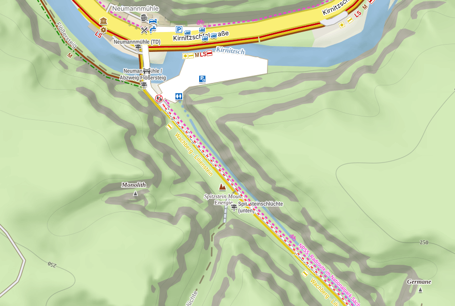
OpenStreetMap is a widely used data source for any kind of geoinformation. Many services and apps use this data in different ways, serving the people's needs. One use case is spare time activities such as hiking. Komoot and Outdoor Active are commonly used platforms for hiking trips that use data from OpenStreetMap.
In highly touristed regions, e.g., the national park Sächsische Schweiz, it is necessary to close paths for some time due to dangerous environmental conditions or construction work. Adding this information to OpenStreetMap would be one way to provide many visitors information about those temporarily closed hiking paths. The OpenStreetMap-based maps and apps would regard this information. Following, people already know before they arrive there where they can go and avoid closed ways. It makes visiting the area safer and prevents frustration.
The topic has theoretical parts, such as the modeling of the information, but also allows the practical creation of an online map and routing services, always showing the recent information.
Research Objective
The result of the research should be a description of how temporarily closed paths and highways can be mapped in OpenStreetMap. The chosen solution should be tested to see that it can be visualized on maps. In addition, it would be possible to integrate the information into OpenStreetMap-based routing engines.
Objectives of the thesis are:
1. How can closed paths and highways be mapped in OpenStreetMap?
2. What are efficient ways to visualize closed paths and highways in OpenStreetMap-based maps?
Literature/references: