[id: 104]
Short description: The goal of this thesis is to collect and process 3D building vector data on the global scale and calculate their 2D/3D morphological indicators.
Keywords: 3D GIS Data Processing, Large-scale Data Management, Urban Morphology Measurement, Global Building Mapping
Topic at: TU Munich
Staff involved: Dongsheng Chen (dongsheng.chen@tum.de)
Description:
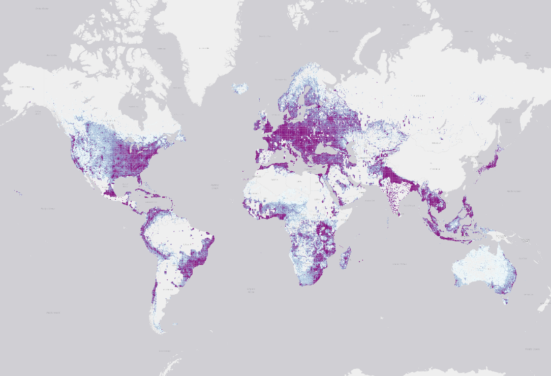
With the development of GIS and RS technologies, open data related to the global building footprint has become increasingly abundant. It provides a basis for measuring 2D/3D urban morphology globally.
Processing and managing data on a global scale presents significant challenges. The core focus of this research topic lies in leveraging available computational resources to develop computationally efficient data processing code. First, the student collects and processes 3D building vector data and constructs a global building dataset. The quality of the dataset needs to be examined at the large-scale data context. Second, the student develops computationally efficient codes for calculating 2D/3D morphological indicators on the global building dataset. Last, the student maps the morphological indicators at a global view.
The student is required to have 3D GIS data processing skills, including geojson, geotiff, and shapefile, and Geo-coding skills, including GEE, GDAL and OGR. The student should ideally have experience working and managing with large-scale data.
Literature/references: